|
[IMGP5346]
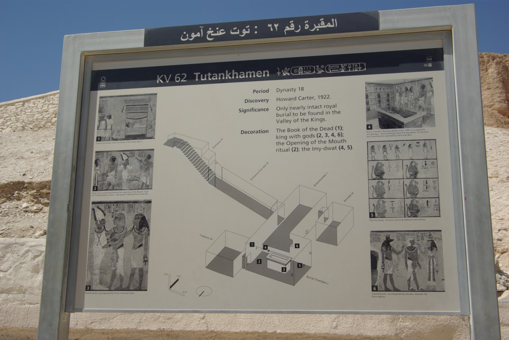
Mappa della tomba di Tutenkhamon. Valle dei Re. Luxor, Egitto. 13/03/2009 ore 11:05 Latitude: 25.73929722 - Longitude: 32.60596388 F: 43 - ISO: 100 - Ø: 100/10 - T(s): 1/250
|
|
[IMGP5346]
Mappa della tomba di Tutenkhamon. Valle dei Re. Luxor, Egitto. 13/03/2009 ore 11:05 Latitude: 25.73929722 - Longitude: 32.60596388 F: 43 - ISO: 100 - Ø: 100/10 - T(s): 1/250
|
